

 3 days ago
8
3 days ago
8
PROTECT YOURSELF with Orgo-Life® QUANTUM TECHNOLOGY
Orgo-Life the new way to the future Advertising by AdpathwayWhen to go
- Spring and fall are far and away the best times to go. I have ridden the route in summer, but the trails in East Tennessee can be almost impossible to get through with the overgrowth. I’d recommend May and October as probably the best, but winter is also not impossible, though snow and ice can happen. You also pass a ski hill, which could be an interesting winter adventure.
Logistics
- This route can be ridden in both directions, with equal reward and payoff going north or south. However, if you are riding all the singletrack alternatives, northbound is the way to go.
- This route was really designed as a connection or alternative for the EDT and Trans Western North Carolina. If riding yourself, I would suggest having someone drop you off in Dillard, Georgia, and riding to Elizabethton, Tennessee, to get picked up, or vice versa. There are no public transportation options, though you could probably rent a car in Johnson City.
- If making a loop with the Segment 6 of the EDT or Trans-WNC, you could feasibly fly into the Asheville Regional Airport and use Uber/Lyft to get to Asheville to start and end your ride. The Asheville transit system (ART) does serve the airport, but bikes must go in the bike racks in the front, and there may be limited space for a bike bag/box.
- It is also possible to ride from the airport and intersect the EDT or Southern Highlands Traverse, then use those to connect to the southern end of the Great Smoky Mountains Traverse. AVL Airport has secure, paid long-term parking. This route offers the safest option to make the connection.
- The only potential permit you would need is if you plan to camp in the national park at a backcountry site. Depending on which alternative you take, there may be 1-2, but just remember, your bike still can’t touch the ground.
- Reservations are required to camp at frontcountry campgrounds in the national park. Do not attempt to show up and request a campsite.
Dangers and Annoyances
- Southern Appalachia is a temperate rainforest, with areas receiving over 100 inches of rain per year. Pay attention to the weather, but be prepared for rain at any time. Late spring and fall provide the most stable timeframes in most years.
- Dogs may be encountered in many places along the route, but I haven’t had any major problems.
- You will be in black bear country, and some are becoming increasingly habituated and/or desperate for human food, so take proper precautions such as hanging your food or putting it inside at lodging establishments.
- Rattlesnakes, copperheads, and yellow jackets will be common in warmer months. They are rarely a problem; just be aware.
- Poison ivy, sumac, briars, and stinging nettles could be a problem in warmer months or shoulder season.
- Hunters, especially during bear season (October), will be everywhere. Be aware of your surroundings and wear bright colors.
Travel basics
- Since this route is designed to be a loop with TWNC or EDT, there are many places that make sense to start and end; however, I am partial to Brevard, North Carolina, for its proximity to a good airport, beer, food, and amazing singletrack. Long-term parking options are available at The Hub, Pisgah Ranger Station, and other trailheads. Outside of Brevard, AVL Airport offers paid, secure long-term parking. There are innumerable trailheads with varying degrees of security. And businesses like the Hemlock Hollow or Standing Bear Hostels may offer more secure long-term options.
- Asheville or Johnson City would also make excellent places to start and end a loop.
What bike
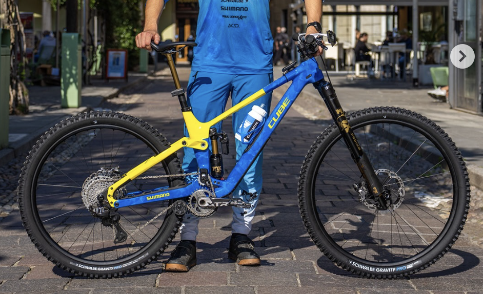
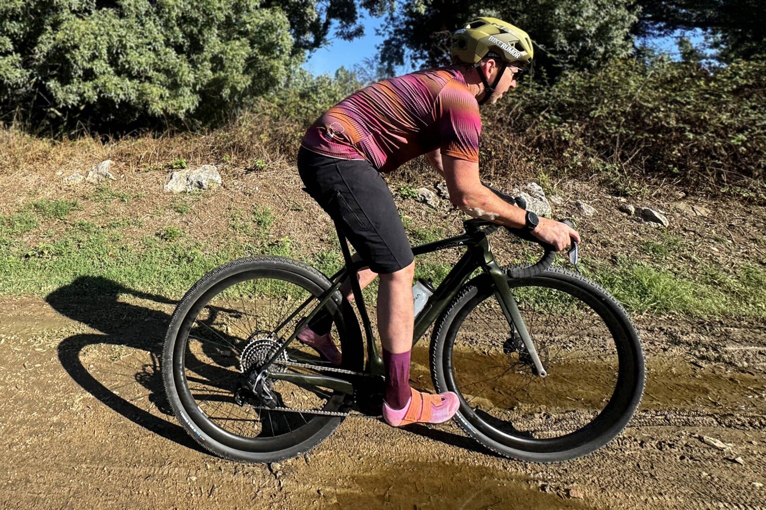
- I think a hardtail mountain bike is the best choice for the route. If you have a suspension fork, you could get away with smaller tires. Otherwise, I recommend a bike with at least 2.4” tires. Bring the lowest gearing you can. I recommend no bigger than a 32-tooth chainring in front and a 50-52-tooth cassette in the back. I wouldn’t say it’s impossible for a gravel bike, but from Johnson City to Hot Springs is really not doable on anything without at least 50mm/2” tires, MTB gearing, and a zen-like ability to zone out on some hike-a-bike.
- There are ample opportunities to camp throughout the route. There will be some sections of 10-20 miles through private land, but you’re never far from public land.
- In Great Smoky Mountains National Park, you cannot camp outside of developed campsites and campgrounds. Deep Creek, Balsam Mountain Campground, and Cataloochee Campground are reservable and right on route, while Smokemont is only slightly off-route. Note that you should make your reservations in person at the Oconaluftee Visitors Center or online prior to arriving, as most campgrounds don’t have cell service, nor do they have an office to process reservations.
- Developed USFS campgrounds like Standing Indian, Appletree, Rattlesnake Knob, and Paint Creek offer amenities like bathrooms, fire rings, and picnic tables.
- There are also many private campgrounds, including Hemlock Hollow Hostel, which offers the last resupply on the route before potentially two days of strenuous riding and hike-a-bike.
- There are also cabin rentals and private lodging available throughout the route. Bryson City, Cherokee, and Johnson City have several options, and the Hot Springs Resort and Hemlock Hollow Hostel offer enough options that you could carry only minimal camping gear.
- The ~50 miles from Horse Creek Campground to Johnson City are the hardest for good campsites. They are stacked in the first 6-10 miles. You will be on public land and may find a functionally flat space, but after Big Butt, there are not any exceptionally good campsites.
- There are water sources everywhere on this route. Bring a filter, but for the most part, 1.5- 2 liters of water is more than enough. The only exception is Rich Mountain and Buffalo Mountain near Erwin, Tennessee. These stretches can be particularly hot and dry, so just make sure you hydrate and top up before tackling them.
- Although there is water everywhere, I like to filter only from streams and creeks that are fully inside the public lands on this route. There are lots of water sources that pass through agricultural, residential, and urban areas that I prefer to avoid.
Suggested Itinerary
While it can stand alone, the Great Smoky Mountains Traverse is really designed as western alternative for the Eastern Divide Trail (or to loop with Segment 6/Blue Ghost) and to complement the Trans Western North Carolina section of the Southern Highlands Traverse when using the singletrack alternates. The route described here is equally rewarding and challenging in both directions. But it is presented as northbound because we have included a number of singletrack alternates that really only make sense going north.
locationDillard to Standing Indian Campground
Day 1 (28.1 mi, +3,525’)
Pick up the route in the small town of Dillard, which is mostly a collection of random shops on the main road, but offers some unique food and lodging opportunities. The Dillard House is currently being renovated, but for my entire childhood it was famous for its large family-style meals. Look closely in the alley behind the main Dillard drag, and you’ll find La Veracruzano—a really authentic Mexican store and restaurant. Or snag some fancy digs at Julep Farms up the hill. You’ll start out on some river-side quiet country lanes before turning west up the first big gravel climb into the Standing Indian Basin. This climb is one of the most challenging of the whole ride, but at least you’ll get it out of the way. Once over the top, there are several roadside options for camping, or you can proceed down to the developed Standing Indian Campground for fresh water and bathrooms. A side trip to Pickens Nose is worth the time, and there are several short waterfall hikes as you descend to Standing Indian CG.
locationStanding Indian Campground to Nantahala River
Day 1 (39.6 mi, +3,886’)
This second day will be physically challenging, but it’s all road and gravel. Leaving Standing Indian CG, you’ll ride pavement for a few miles to Rainbow Springs Road for some casual gravel cruising. After enjoying the warm-up, you’ll have an 8-mile paved climb to Nantahala Lake Scenic “Overlook” (it’s a little overgrown, unfortunately). You will pass Wine Spring Horse Camp, which requires a $15 reservation but has no host and is a really nice spot. No potable water, but filtering options nearby. If you have the time, I highly recommend a side trip to Wayah Bald. Although it adds about 6 miles of climbing (and descending), it’s quite mellow, half on dirt, and the fire tower and views are worth it. I have not seen any camping restrictions posted at the base of the tower, but it is a very popular tourist spot, so I would suggest setting up late and striking early, and do not start any campfires. There is a stream on the way up to the top, so fill up. Back on route, you’re still on broken pavement as you descend from the Nantahala Overlook. The route makes a jog over toward Nantahala Lake for food and resupply at Lakes End Cafe before heading toward Appletree Group Campground and sites along the Nantahala River.
locationNantahala River to Cherokee
Day 3 (48.3 mi, +5,187’)
Start your day along the beautiful Nantahala River. Cross over Tellico Gap on steep gravel and descend through tons of switchbacks with some great views. At route mile 81, you have your first alternate route choice. The Bryson City Alternate offers a more rolling option and a major resupply in Bryson City, as well as some side trip opportunities. You’ll get to cross the Little Tennessee River on a really cool suspension bridge, then Bryson City is a neat little town with great food, breweries, and rafting and tubing opportunities. You can stay a day or two and take a ride on the Great Smoky Mountains Railway to go rafting on the Nantahala. Or you can go tubing or biking along Deep Creek in the National Park.
If you stay on the main route, you’ll be treated to some incredible, quiet countryside as you ride through the Cowee Valley. The climb up to Big Laurel is arduous but never too steep. Near the top, there are some beautiful high-altitude meadows that are often full of wildflowers. There are also water filtering options and another side quest opportunity to a fire tower. Descending down the north side, you will pass through the tiny town of Whittier and continue to follow quiet two-lane roads into the town of Cherokee. Near Whittier, you will begin noticing some unique characters on road signs, indicating that you have entered the Qualla Boundary–home of the Eastern Band of the Cherokee Indians (EBCI), where you will spend most of the next 30 miles inside. Around route mile 111, you can choose to take the Cherokee Singletrack Alternate. I think of all the alternates on this route; this one is the most worthwhile. The climb up is very steep for the first mile before mellowing out quite a bit until a short steep climb at the end. Then enjoy a really wonderful 4.5-mile singletrack adventure down to the town of Cherokee, where you’ll rejoin the route. Grab a hotel in town, enjoy a beer on the back deck of BC Outdoors, and check out the Museum of the Cherokee People or catch Unto These Hills Outdoor Drama just up the hill.
locationCherokee to Mile High Campground
Day 4 (19.5 mi, +3,761’)
This shorter day is designed to give you time to recover and fully enjoy the options along the way. Also, it’s a challenging section where it’s easy to bite off too much and end up overdoing it with few lodging options when you are cooked. With an early start out of Cherokee, you’ll likely see elk all over the town and national park. The first 10 miles today are almost flat, slowly turning up the grade as you proceed upstream along the Oconaluftee and Raven Fork rivers. Take some time to stop at the interpretive village reconstruction near the Great Smoky Mountains National Park Visitor Center. You’ll also pass the trailhead to Mingo Falls, a well-known cascade if you are up for a side hike and a few stairs. There are several private campgrounds along the way with small stores and Big Creek Grocery. Once Bunches Creek Road turns to gravel, the climbing begins. You’ll ascend all the way to over a mile high over the next 8 miles. The last 3 miles are the worst, so pace yourself. There are a couple of primitive roadside sites on Mile High Road before you get to the Mile High Campground itself. The cliffside spots you pass at the last switchback are stunning and would be a lovely way to finish the day. Or continue down to Maggie Valley for a hotel and restaurants.
locationMile High Campground to Cataloochee Valley
Day 5 (32.5mi, 3,713’)
Today is harder than it looks on paper. Start out with a refreshing descent from Mile High Campground. After a few miles, you can choose if you would like the ultimate wilderness experience by taking the Bike Portage Alternate through the National Park. This alternate requires you to dismantle your bike and carry it on your back for 4.5 miles through the park. Like the Grand Canyon portage on the Arizona Trail, your wheels cannot touch the ground. In exchange for your trouble, you will experience some amazing gravel riding in the park beforehand, and likely will not see another person at all until you reach Cataloochee Valley. Personally, I prefer the primary route, even though it requires some intense climbing on the bike.
On the main route, you’ll descend to Maggie Valley and turn left on the brutal Fie Top Road. The 3-mile climb gains almost 2,000 feet up some extremely steep pitches. However, at the top you are rewarded with one of my favorite gravel roads in all of NC. It’s short, but you’ll have vast open views as you traverse through pastures at high altitude. This is Cataloochee Ranch, which offers some extremely posh digs and food if you are feeling fancy. After you take in this unique, if short, road, you’ll pass Cataloochee Ski Area, a beloved spot for locals. Continue down a steep descent back to the lowlands and some lumpy climbs. At US 276, the proper route chooses the safer alternative on Holcomb Mountain Road. 276 is high speed and has no shoulder, but it is flat, and I have personally never had a problem riding it. If you do, don’t miss the Blue Ghost Outpost–a wonderful coffee shop offering smoothies, baked goods, and excellent resupply options with higher-quality food.
Stock up at Blue Ghost or one of the gas stations on 276 because there is no resupply until you get to Hot Springs. Enjoy a long but mellow climb back into the National Park. Reaching Cataloochee Valley, take some time to read about early European settlers and visit the sites throughout the historic sections. If you are staying at Cataloochee Campground, you will need to have reserved a spot before arriving, as there is no cell service.
locationCataloochee Valley to Hot Springs
Day 6 (49.2 mi, +5,925’)
Leaving Cataloochee, you’ll climb gradually along the eastern border of the National Park. Note that there are some intermittent closures on this section, and you will not know what the status is until 5 more miles on the route. If the gate is open, you can proceed through, but use caution. As of Sept. 2026, there were no issues. There are some decent campsites along this stretch, and it’s not a terrible road if you do have to backtrack. If you don’t want to tempt fate, you can follow the Waterville Alternate to reconnect with the route. About 7 miles after you turn right on FS288, keep an eye out on the left for some faint graffiti on some trees and a small trail. This is Buzzard’s Roost and is a worthwhile overlook. During Hurricane Helene, half of Interstate 40 collapsed into the Pigeon River 1,500’ below you. After you cross under I-40, you’ll be climbing for a long time up to Max Patch–a unique Appalachian bald on the Appalachian Trail. This area is still closed to camping due to overuse, but it’s a worthwhile short side hike to the summit for 360-degree views.
After your fill of Max Patch, head north toward Hot Springs and decide if you are ready for some grub and a bed, or if you want a waterfall and adventure. If you take the Wolf Creek Alternate, there’s a great campsite near the top of the falls. The trail is somewhere between singletrack and doubletrack. Much of it is rideable, with some short extreme baby-head sections and swampiness near the bottom. As of Sept. 2026, recent rains have made it rougher, but there is some work being done, so it should keep getting better. Next you’ll be on some side roads before a couple of miles on US25 into town. Unfortunately, US25 has become much busier with the I-40 construction. It can be busy. The ride into town is mostly downhill. There is not a good paved shoulder. But one could ride in the grass if they really want to get away from cars. Once in Hot Springs, grab a beer at Big Pillow and enjoy this rebuilding but still lovely trail town. However, if you have the energy, I also recommend you try to make it to either
locationHot Springs to Horse Creek
Day 7 (49.6 mi, +5,325’)
You’ll have a mellow warm-up out of Hot Springs before the climbing begins. After a few miles, you’ll have to decide if you want to try the Paint Creek Trail alternate or stay on route. Paint Creek Trail is a narrow, technical trail with some great flow mixed in. Enjoy the ledgy sections and rugged views! Once you escape, you’ll enjoy a nice cruise through the Paint Creek Corridor. Staying on route, you’ll start out on graded gravel before passing a gate, and then the road turns into doubletrack. In early or late shoulder season, there should be some great views. Eventually you will pop out near the Rich Mountain Tower road. If you have the legs, this is a great side trip! There are campsites near the top, but be aware it could be busy on weekends, and there is a lot of radio/cellular equipment. Descending from Rich Mountain toward Paint Creek, you’ll pass a couple of decent roadside sites. Paint Creek Campground is closed due to some flood damage, but you may find some resources there. Some paved country roads will carry you to Hemlock Hollow Hostel. This hiker-focused hostel has camping, cabins, showers, Wi-Fi, and electricity. They have a great selection of resupply snacks and frozen foods. Fill up here if you need to–it’s the last resupply on route until Johnson City.
Soon after leaving Hemlock Hollow, you can choose to stay on paved roads for about 8-10 miles or take on the Green Mountain Alternate. Green Mountain Trail is a narrow trail that most people will probably hike about 2 miles to the top. It can be overgrown, but overall it’s not too bad. The top is a neat ridgeline ride on some old rugged trail. Next up is Bullen Hollow. Bullen Hollow is pretty awful. It would be a wonderful descent if it were cleared, but just be prepared to walk about 2/3s of it, especially in summer. It’s the only dirt way through this section, unfortunately.
Whether on route or after the Greene Mountain Alternate, you’ll soon choose whether to take 2 more miles of paved roads or try the Round Knob Alternate. If you choose the Alternate, be prepared to walk most of the way up Davis Creek Trail. Soon after passing the Round Knob Shelter, you’ll descend some rugged trail with several creek crossings to Old Forge Recreation Area. Old Forge can be hopping with locals, so probably not the most peaceful spot. But there are bathrooms and a great swimming hole. You may find a small campsite.
These two alternates are really for people who just love exploring by bike and maximizing time away from cars. They have their moments of real fun, but they may not be worth the trouble to you. I’d especially avoid the Green Mountain Alternate if you have any concerns.
Back on route, you’ll still have an adventure connecting from Greystone Road to Old Forge Road. Then plan to camp at Horse Creek Campground. If you have any energy left, it would be a good idea to burn some by starting the climb up to Big Butt because tomorrow is a doozy.
locationHorse Creek to Elizabethton
Day 8 (61.8 mi, +8,193’)
Get an early start from Horse Creek or Old Forge. You’ve got about 6 miles to climb 3,000 feet. There will be rideable sections, especially toward the bottom, but expect to walk quite a lot. You may see some side-by-sides on this road, especially on the weekend, but they are generally very courteous. About a half-mile from your left turn on Big Butt Road, there is an amazing overlook to your right. You could camp here, and you pass a good water source about a half-mile before. Once you finally get to Big Butt Road, the ecology changes and you’re thrust back into high Appalachian rainforest. Stay on the doubletrack and don’t accidentally get on the AT. After another half-mile of this, you’ll turn left into a field. There is a sign referring to the AT, which veers to the right, but you go straight across the field toward the lone pine tree. This may make a great place to camp if it’s been mowed recently, if a bit dry in terms of water. Beyond this field, the doubletrack trail can be really boggy. You’ll be off and on your bike quite a bit, eager to make forward progress. But I found the setting to be quite interesting in late fall. In May or early June it would be slammed with blooming rhododendron and mountain laurel. Follow this doubletrack and then road mostly down to Higgins Creek Trail. Make sure to top off your water before you make the left away from Higgins Creek–you won’t have much more forest water until after you crest Rich Mountain, before Bumpus Cove.
Leaving Higgins Creek, you will have more slow riding and walking. It will feel like forever to finally get to the top of Rich Mountain, but then it’s all down to Bumpus Cove. You’ll follow some paved neighborhood roads and start climbing up to Buffalo Mountain. This long mountain is really tedious. You will do most of the elevation in the first three miles, but then you’ll be on OHV/Moto trails for about 10 miles. These have a lot of steep descents and climbs that are not realistic for a loaded mountain biker to clean easily. You will cross Pinnacle Mountain Road about halfway through. You can opt to climb up to the top of Pinnacle for the fire tower and take some sweet mountain bike trails back down, but I suspect you’ll be ready to get off Buffalo Mountain. You’ll switch to a gravel road after you pass the tower road. The primary route follows gravel all the way to the bottom. But one last alternate, the Old Number One, offers one last adventure if you are up for it. It starts as undulating doubletrack, but trending down. Eventually you’ll take a sharp right onto a really lovely, intermediate singletrack trail that will descend all the way to pavement. After this, it’s just a cruise down to Johnson City and through their urban bike infrastructure to the Tweetsie Trail, a gravel rail trail all the way to Elizabethton, Tennessee.
Johnson City is the most logical spot to finish this route if it is done on its own; however, Elizabethton is a sleeper town with some neat mid-century vibes and much, much quieter than Johnson City. You could easily do a day ride out and back to Elizabethton on the Tweetsie Trail if you want. If you are connecting to the EDT (and/or Southern Highlands Traverse), you’d likely start your eighth day on the Tweetsie and camp 10-20 miles past Hampton.
Alternate Routes
Below is a list of all the alternate route sections. You can find these in the day-by-day itinerary above or linked in “control” POIs within the RWGPS route.
















 English (US) ·
  French (CA) ·
  French (FR) ·